
Use the +/- buttons on the upper left of this map to zoom in/out. Click ‘Sat’ in the upper right corner of the map to see Satellite imagery (near maximum zoom will give high definition); click ‘Map’ to see a roadmap view. Click the up/down/left/right arrows to fine tune.
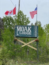
The trip to Moak lodge is paved for the entire way up hwy #6, except for the last 6 miles / 10 km which is all-season gravel. To get there, from the bridge in Grand Rapids, proceed 10km/6.5 miles north on Hwy #6. Turn left (west) on the gravel road located after “Eating Point Creek”. Proceed 7km / 5 miles down the gravel road until it comes to a ‘T’ intersection. Turn right (north) and proceed 2km / 1.5 miles to Moak Lodge.
Moak Lodge Coordinates are: 53’ 16’ 557 N,
99’ 24’ 224 W


